|
 |
|


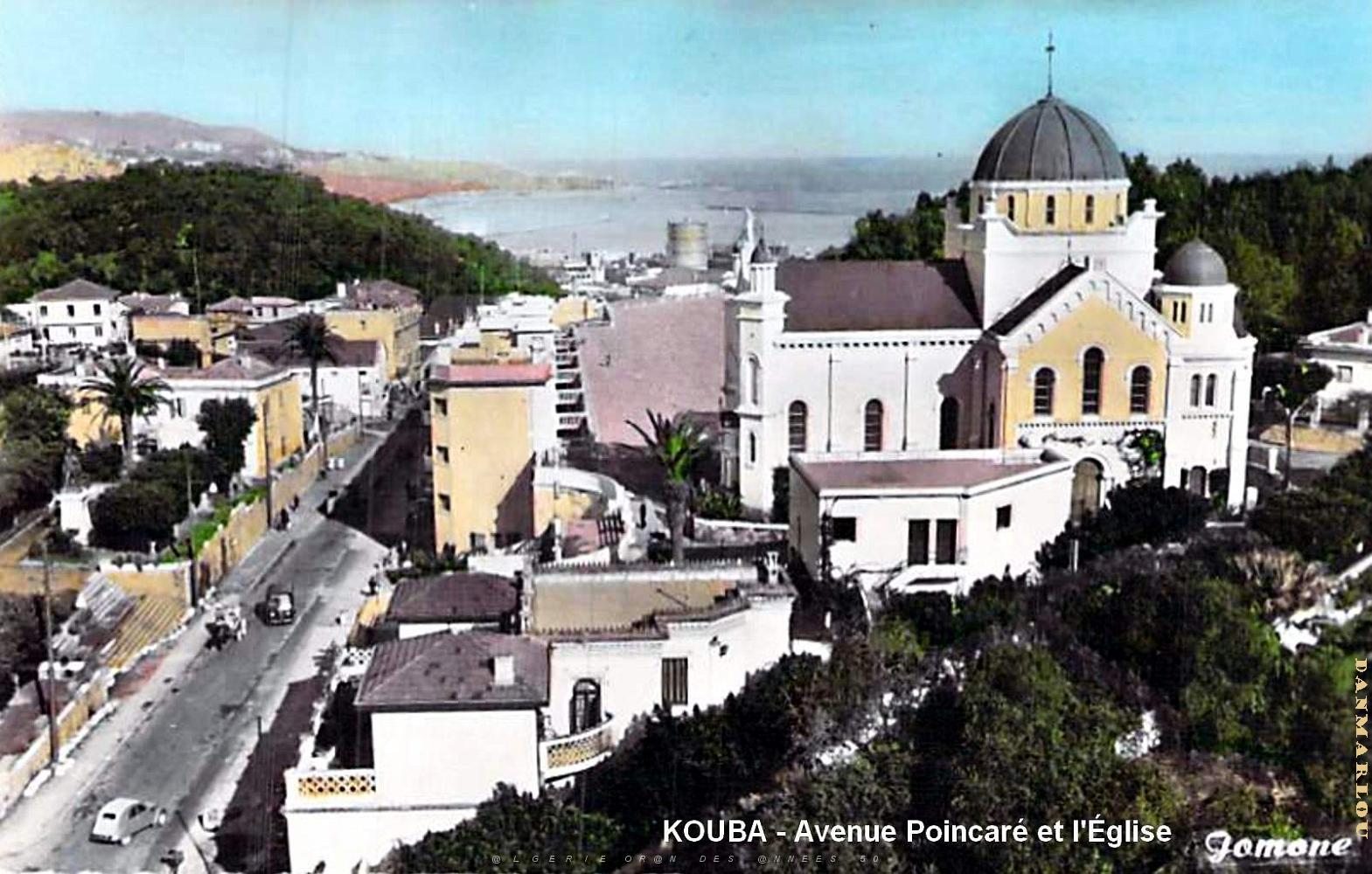
| 68 | KOUBA - AVENUE POINCARE AVEC L'EGLISE.jpg | 1605x1023px | 182kB | |
| « | < | 61 | 62 | 63 | 64 | 65 | 66 | 67 | 68 | 69 | 70 | 71 | 72 | 73 | 74 | 75 | 76 | 77 | 78 | 79 | 80 | > | » | |
| Latitude: N 36,72894° | Longitude: E 3,07899° | Heure GPS: 17:37:53 UTC | Voir la carte | |
| Nombre total d'images: 154 | retour menu principal ORAN DES ANNEES 50 | Aide | |